Raystown Field Station
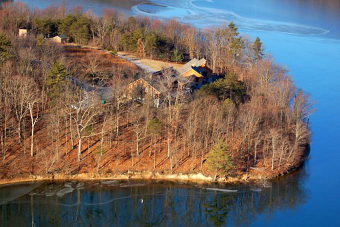
- The Raystown Field Station was established by Juniata College and the U.S. Army Corps of Engineers in 1974 to provide special opportunities for environmental research and education at the 29,000 acre Raystown Lake Project. The 365 acre reserve lies in the valley and ridge province of central Pennsylvania and offers visitors access to the various aquatic and terrestrial ecosystems of this unique region.
- Juniata has just begun the “Semester at Raystown Field Station” program, in which students of environmental science, environmental studies, and other disciplines can immerse themselves in this beautiful region while completing related coursework through block scheduling.
The GIS and Spatial Analytics Lab
- The Geographic Information System (GIS) lab is used by students for capturing, storing, analyzing and managing data which are spatially referenced to the earth. It is also useful for students studying technology to be knowledgeable in GIS.
- Some of the technologies available to students in the lab include: The Remote Sensing Exploitation Platform (ENVI), Hydrologic Engineering Centers River Analysis System (HEC-RAS), The Data Visualization & Analysis Platform (IDL), IDRISI GIS, and Image Processing Software.